IGiS Desktop-Scanpoint Geomatics Limited
IGiS - GIS & IP Desktop
1 follower
IGiS - GIS & IP Desktop
1 follower
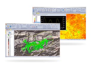
IGiS Desktop provides advanced GIS software for GIS mapping and image processing by using innovative ways of analyzing, visualizing, and processing geographic data. A GIS Software with Image Processing, Photogrammetry, and CAD for Windows.