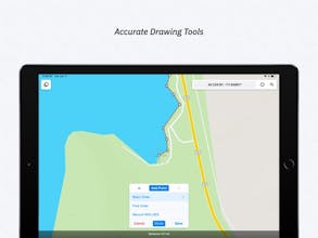
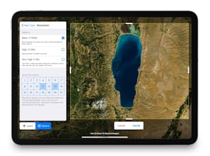
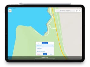
Data Collection & Mapping For The Mobile Era FEATURES - Intuitive Interface - Offline Capability - Map Caching - Robust File Support - Customizable Attribute Forms - Collect Point, Line, and Polygon Features - Custom Feature Classes - Feature Class Templates

Subscribe
Sign in


SecurePik
Touch GIS
Touch GIS