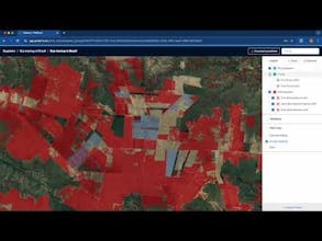
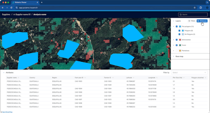
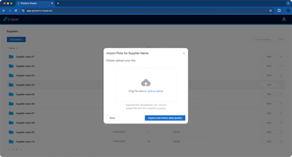
Picterra Tracer is a new, all-in-one product designed to simplify and enhance the process of creating, validating, analyzing, and monitoring land plots and boundaries using geospatial imagery.
π We're very proud to launch Picterra Tracer, a new, all-in-one product designed to simplify and enhance the process of creating, validating, analyzing, and monitoring land plots and boundaries using geospatial imagery.
π± This versatile product is aimed at producers, operators, and traders involved in the supply chain of soft commodities and forestry, where compliance with environmental regulations and sustainability reporting is critical. Picterra Tracer provides a visually appealing geographic interface to trace commodities to their plots. πΊοΈ
π‘ Developed with flexibility and efficiency in mind, Picterra Tracer addresses various use cases. It helps organizations comply with regulations like the European Union Deforestation Regulation (EUDR), validate carbon credit claims, and perform complex environmental monitoring. π³
π Picterra Tracer works with satellite, drone, or aerial imagery, leveraging open-source layers (through Google Earth Engine) so users can analyze plots accurately and confidently.